THE HASLEMERE HOOP
A walk devised by Neil Hook
This walk follows public footpaths and bridleways on a circular route through the neighbouring villages and countryside around Haslemere. The route is designed to enjoy most of the National Trust sites in the area, running directly through several. It is divided into 9 short legs, each one beginning or ending at a car park or bus stop, in one or two cases both. One of the start points (Waggoner's Wells car park), because of it's remoteness, is about 8kms from Haslemere station, but the others are mostly about half that (directions to nearby bus stops given in the text). 6 legs end at or near a local hostelry; the others end a short walk away (all indicated in the directions). And of course the Station House pub is directly opposite Haslemere station itself. This format gives walkers an opportunity to plan where to start their walk - whether to walk one leg at a time or to combine two or more on one outing, whether to take a bus or a car to the start of a leg, or whether to take taxis to and from Haslemere station. The total length of the walk is 25kms (15.6 miles), so it might easily be undertaken in 2 outings; the walk from the start of Leg 1 to the end of Leg 5 is 12kms. Throughout the directions, the position of signposts (sp) and waymarks (wm/wms) is given to assist with orientation. Enjoy!

The Sections
Leg 1 - Kingsley Green to Linchmere Common
Leg 2 - Linchmere Common to Hammer Vale
Leg 3 - Hammer Vale to Waggoner's Wells
Leg 4 - Waggoner's Wells to Grayshott
Leg 5 - Grayshott to Hindhead
Leg 6 - Hindhead to Grayswood
Leg 7 - Grayswood to Ansteadbrook
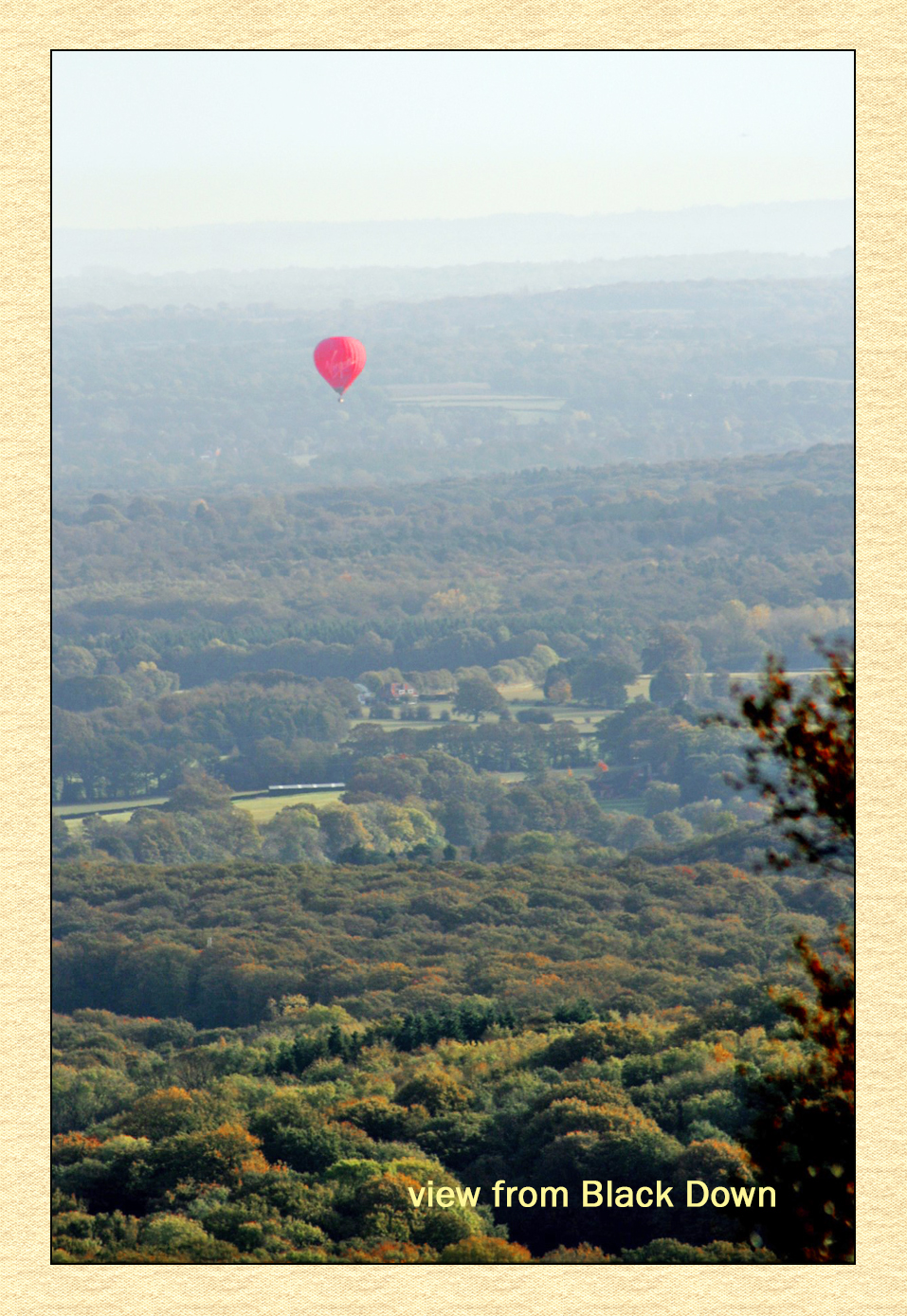
Leg 8 - Ansteadbrook to Black Down
Leg 9 - Black Down to Kingsley Green
Click here to go to more information to help you plan your walk including, a top level map, distances, bus routes, and pubs.